
ファイル:Bundesautobahn 14 map.png
このプレビューのサイズ: 443 × 599 ピクセル。 その他の解像度: 177 × 240 ピクセル | 355 × 480 ピクセル | 568 × 768 ピクセル | 758 × 1,024 ピクセル | 2,052 × 2,773 ピクセル。
元のファイル (2,052 × 2,773 ピクセル、ファイルサイズ: 562キロバイト、MIME タイプ: image/png)
ウィキメディア・コモンズのファイルページにある説明を、以下に表示します。
|
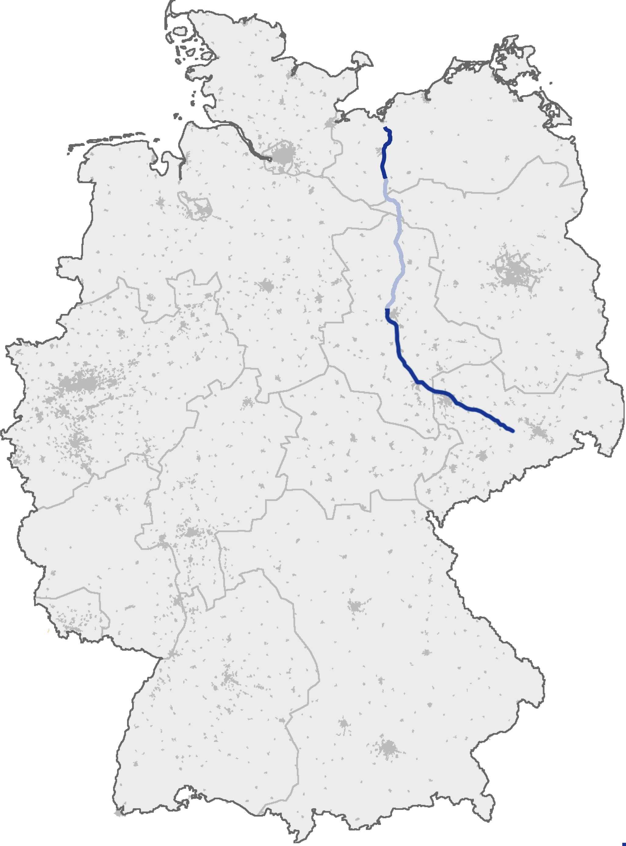
| 解説 | (Geplanter) Verlauf der Bundesautobahn A 14 |
| 日付 | (original text: 17. September 2006) |
| 原典 | de.wikipedia, original uploader was de:user:Heierlon, original picture was here |
| 作者 | Thorsten Weber |
| 許可 (ファイルの再利用) |
GFDL-OpenGeoDB |
This image was generated with OpenGeoDB. The information there is placed in the public domain, images generated from OpenGeoDB are derivative works without passing the threshold of creativity, they are therefore also public domain.
| この著作物は、完全に常識的な情報から構成され創作性を欠くために、著作権発生の資格がなく、故にパブリックドメインの状態にあります。 |
ファイルの履歴
過去の版のファイルを表示するには、その版の日時をクリックしてください。
| 日付と時刻 | サムネイル | 寸法 | 利用者 | コメント | |
|---|---|---|---|---|---|
| 現在の版 | 2009年12月20日 (日) 19:13 | | 2,052 × 2,773 (562キロバイト) | Niteshift | Schwerin-Nord - Jesendorf light -> dark blue |
| 2007年6月18日 (月) 22:49 |  | 2,052 × 2,773 (720キロバイト) | Niteshift | ||
| 2007年4月6日 (金) 14:55 |  | 2,052 × 2,773 (702キロバイト) | Niteshift | ||
| 2005年9月13日 (火) 19:03 |  | 1,122 × 1,515 (77キロバイト) | Qualle | Bundesautobahn 14 in Germany {{GFDL-OpenGeoDB}} 014 |
ファイルの使用状況
以下のページがこのファイルを使用しています:
グローバルなファイル使用状況
以下に挙げる他のウィキがこの画像を使っています:
- cs.wikipedia.org での使用状況
- de.wikipedia.org での使用状況
- fa.wikipedia.org での使用状況
- fr.wikipedia.org での使用状況
- hr.wikipedia.org での使用状況
- hsb.wikipedia.org での使用状況
- hu.wikipedia.org での使用状況
- no.wikipedia.org での使用状況
- pt.wikipedia.org での使用状況
- sk.wikipedia.org での使用状況