
ファイル:Dumfries and Galloway UK location map.svg

この SVG ファイルのこの PNG プレビューのサイズ: 800 × 544 ピクセル. その他の解像度: 320 × 218 ピクセル | 640 × 435 ピクセル | 1,024 × 696 ピクセル | 1,280 × 870 ピクセル | 2,560 × 1,741 ピクセル | 1,425 × 969 ピクセル。
元のファイル (SVG ファイル、1,425 × 969 ピクセル、ファイルサイズ: 1.97メガバイト)
ウィキメディア・コモンズのファイルページにある説明を、以下に表示します。
|
| 解説 |
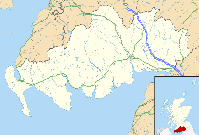
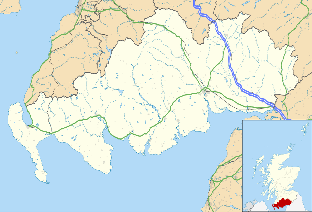
Blank map of Dumfries and Galloway, UK with the following information shown:
Equirectangular map projection on WGS 84 datum, with N/S stretched 170% Geographic limits:
|
| 日付 | |
| 原典 |
|
| 作者 | Nilfanion, created using Ordnance Survey data |
| 許可 (ファイルの再利用) |
このファイルはクリエイティブ・コモンズ 表示-継承 3.0 非移植ライセンスのもとに利用を許諾されています。 帰属: Contains Ordnance Survey data © Crown copyright and database right
|
| その他のバージョン | File:Dumfries and Galloway UK blank map.svg - Blank map |
ファイルの履歴
過去の版のファイルを表示するには、その版の日時をクリックしてください。
| 日付と時刻 | サムネイル | 寸法 | 利用者 | コメント | |
|---|---|---|---|---|---|
| 現在の版 | 2010年9月26日 (日) 20:07 | | 1,425 × 969 (1.97メガバイト) | Nilfanion | {{Information |Description=Blank map of Dumfries and Galloway, UK with the following information shown: *Administrative borders *Coastline, lakes and rivers *Roads and railways *Urban areas Equirectangular map projection on WG |
ファイルの使用状況
以下の 5 ページがこのファイルを使用しています:
グローバルなファイル使用状況
以下に挙げる他のウィキがこの画像を使っています:
- ar.wikipedia.org での使用状況
- bg.wikipedia.org での使用状況
- ceb.wikipedia.org での使用状況
- de.wikipedia.org での使用状況
- en.wikipedia.org での使用状況
- Dumfries
- Caerlaverock Castle
- Dumfries and Galloway
- Ruthwell
- Ecclefechan
- Wigtown
- Sanquhar
- Stranraer
- Gretna Green
- Kirkcudbright
- Castle Douglas
- Moniaive
- List of monastic houses in Scotland
- Thornhill, Dumfries and Galloway
- Whithorn
- Isle of Whithorn
- Newton Stewart
- Langholm
- Gretna, Dumfries and Galloway
- Lochans, Dumfries and Galloway
- Port William, Dumfries and Galloway
- Mull of Galloway
- Kagyu Samye Ling Monastery and Tibetan Centre
- Dalbeattie
- Portpatrick
- Ae, Dumfries and Galloway
- New Galloway
- Kirkconnel
- Sandhead
- Tongland
- Annan, Dumfries and Galloway
- Penpont
- Drummore
このファイルのグローバル使用状況を表示する。