
ファイル:Sudan relief map.svg

この SVG ファイルのこの PNG プレビューのサイズ: 684 × 600 ピクセル. その他の解像度: 274 × 240 ピクセル | 548 × 480 ピクセル | 876 × 768 ピクセル | 1,168 × 1,024 ピクセル | 2,336 × 2,048 ピクセル | 1,654 × 1,450 ピクセル。
元のファイル (SVG ファイル、1,654 × 1,450 ピクセル、ファイルサイズ: 2.09メガバイト)
ウィキメディア・コモンズのファイルページにある説明を、以下に表示します。
|
概要
| 解説 |
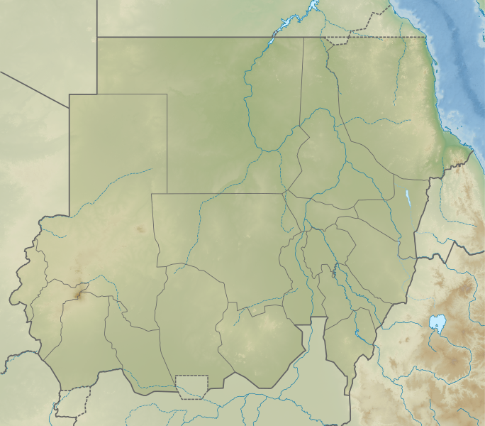
English: Relief map of Sudan. Elevation data from STRM30, bathymetry from GMRT, rivers/coastline from GSHHG. |
| 日付 | |
| 原典 | Derivative of File:Sudan adm location map.svg |
| 作者 | Own work based on User:NordNordWest |
ライセンス
このファイルはクリエイティブ・コモンズ 表示-継承 3.0 非移植ライセンスのもとに利用を許諾されています。
- あなたは以下の条件に従う場合に限り、自由に
- 共有 – 本作品を複製、頒布、展示、実演できます。
- 再構成 – 二次的著作物を作成できます。
- あなたの従うべき条件は以下の通りです。
- 表示 – あなたは適切なクレジットを表示し、ライセンスへのリンクを提供し、変更があったらその旨を示さなければなりません。これらは合理的であればどのような方法で行っても構いませんが、許諾者があなたやあなたの利用行為を支持していると示唆するような方法は除きます。
- 継承 – もしあなたがこの作品をリミックスしたり、改変したり、加工した場合には、あなたはあなたの貢献部分を元の作品とこれと同一または互換性があるライセンスの下に頒布しなければなりません。
ファイルの履歴
過去の版のファイルを表示するには、その版の日時をクリックしてください。
| 日付と時刻 | サムネイル | 寸法 | 利用者 | コメント | |
|---|---|---|---|---|---|
| 現在の版 | 2020年11月22日 (日) 04:23 | | 1,654 × 1,450 (2.09メガバイト) | C1MM | Fixed incorrectly-colored Eritrea-Ethiopia border |
| 2020年11月22日 (日) 04:21 |  | 1,654 × 1,450 (2.09メガバイト) | C1MM | Uploaded a work by Own work based on User:NordNordWest from Derivative of File:Sudan adm location map.svg with UploadWizard |
ファイルの使用状況
このファイルを使用しているページはありません。
グローバルなファイル使用状況
以下に挙げる他のウィキがこの画像を使っています:
- bg.wikipedia.org での使用状況
- de.wikipedia.org での使用状況
- en.wikipedia.org での使用状況
- List of monarchs of Kush
- Marrah Mountains
- Jebel Barkal
- Jebel Sahaba
- Merowe Dam
- Jebel Dair
- Buhen
- Gabal El Uweinat
- Tagabo Hills
- Gabal Elba
- Nuri
- Karima, Sudan
- Wadi Milk Formation
- Dinder National Park
- Naqa
- Shendi Formation
- El-Kurru
- Pyramids of Meroë
- Radom National Park
- Module:Location map/data/Sudan/doc
- Jebel Umm Arafieb
- Second Battle of Heglig
- Upper Atbara and Setit Dam Complex
- First Battle of Heglig
- Tombos (Nubia)
- Musawwarat es-Sufra
- Sedeinga pyramids
- Khashm el-Girba Dam
- Agok Skirmish
- Gebel al-Ain
- List of fossiliferous stratigraphic units in Sudan
- Sabu-Jaddi
- Dungonab Bay
- Gulf of 'Agig
- Lake Ptolemy
このファイルのグローバル使用状況を表示する。