
ファイル:Zhuo Commandery.jpg
このプレビューのサイズ: 800 × 460 ピクセル。 その他の解像度: 320 × 184 ピクセル | 640 × 368 ピクセル | 1,024 × 588 ピクセル | 1,678 × 964 ピクセル。
元のファイル (1,678 × 964 ピクセル、ファイルサイズ: 222キロバイト、MIME タイプ: image/jpeg)
ウィキメディア・コモンズのファイルページにある説明を、以下に表示します。
|
概要
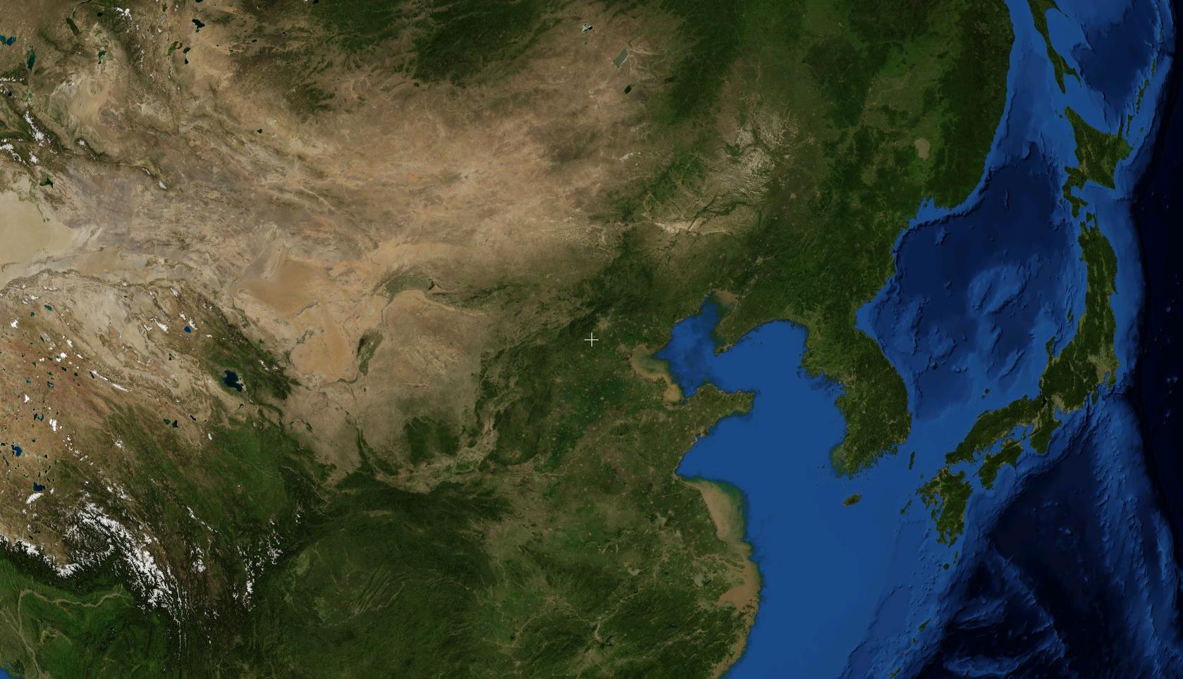
A NASA satellite photo showing the location of Zhuozhou. Known as Zhuo County or Zhuo Commandery during the Three Kingdoms period. This photo was prepared with the assistance of World Wind 1.4 software.
ライセンス
| この画像は、Blue Marble、MODIS、Landsat、SRTM、USGS、GLOBEなどのパブリックドメイン・レイヤーを使用したNASAの地球儀ソフトウェア「World Wind」のスクリーンショットであるため、パブリックドメインの状態にあります。
|
 |
ファイルの履歴
過去の版のファイルを表示するには、その版の日時をクリックしてください。
| 日付と時刻 | サムネイル | 寸法 | 利用者 | コメント | |
|---|---|---|---|---|---|
| 現在の版 | 2007年8月18日 (土) 07:33 | | 1,678 × 964 (222キロバイト) | A-cai | A NASA satellite photo showing the location of w:Zhuozhou. Known as w:Zhuo County or w:Zhuo w:Commandery during the Three Kingdoms period. This photo was prepared with the assistance of w:World Wind 1.4 software. |
ファイルの使用状況
以下のページがこのファイルを使用しています:
グローバルなファイル使用状況
以下に挙げる他のウィキがこの画像を使っています:
- id.wikipedia.org での使用状況