
ファイル:Tarrant County Texas Incorporated Areas Fort Worth highlighted.svg

この SVG ファイルのこの PNG プレビューのサイズ: 800 × 436 ピクセル. その他の解像度: 320 × 175 ピクセル | 640 × 349 ピクセル | 1,024 × 559 ピクセル | 1,280 × 698 ピクセル | 2,560 × 1,396 ピクセル。
元のファイル (SVG ファイル、1,100 × 600 ピクセル、ファイルサイズ: 235キロバイト)
ウィキメディア・コモンズのファイルページにある説明を、以下に表示します。
|
概要
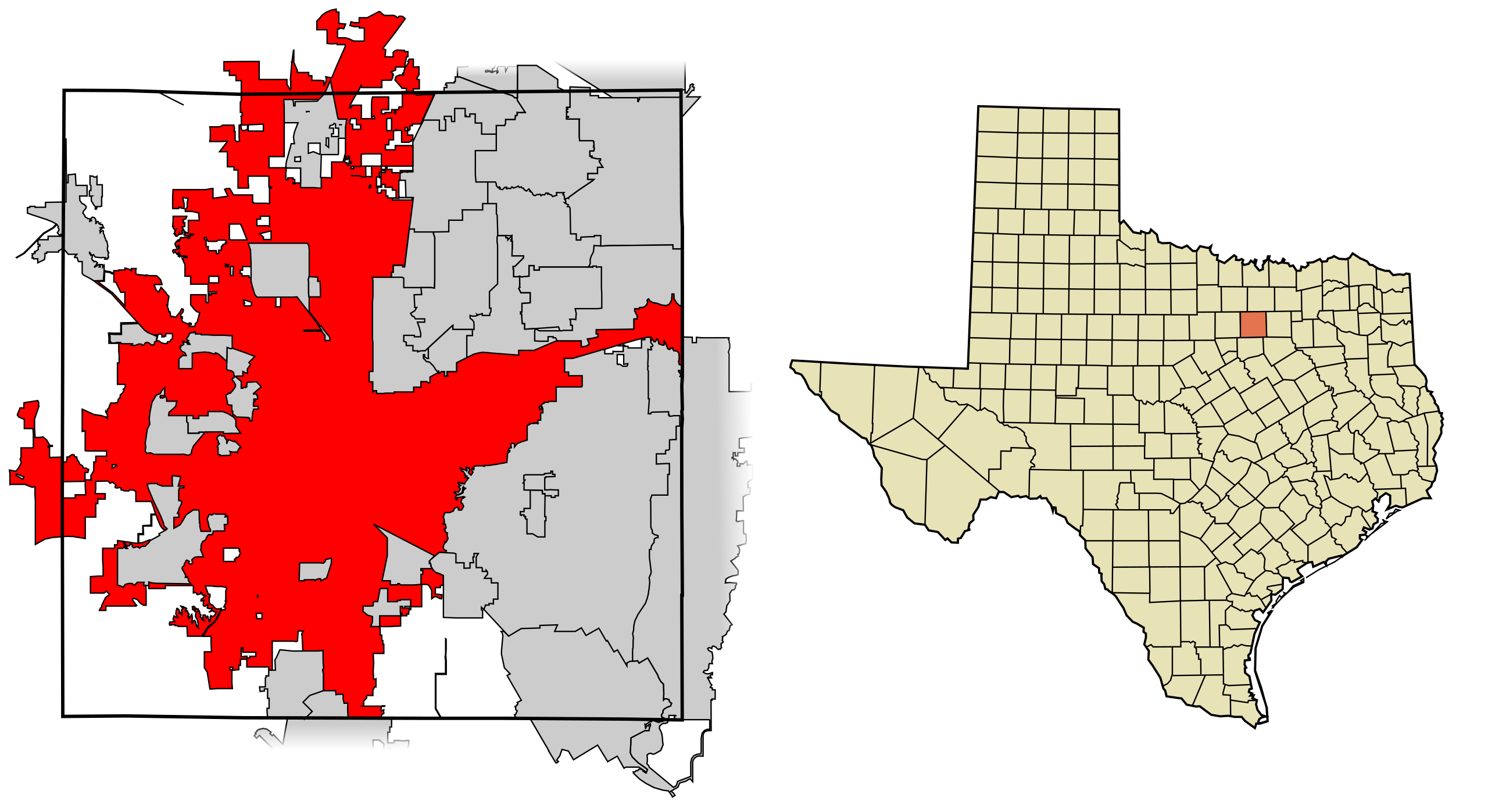
| 解説 | This map shows the incorporated areas in Tarrant County, Texas. Fort Worth is highlighted in red. I created it in Inkscape using data from the following links: North Central Texas Council of Governments Maps Website, City of Fort Worth Interactive Zoning Map |
| 日付 | |
| 原典 | My own work, based on government information. Though I strove to be as accurate in the detail as possible, the information shown is not guaranteed to be completely accurate. |
| 作者 | Ixnayonthetimmay |
| 許可 (ファイルの再利用) |
Public Domain |
| その他のバージョン | See Category:Maps of Tarrant County, Texas for other versions of this image. |
ライセンス
| この著作物の著作権者である私は、この著作物における権利を放棄しパブリックドメインとします。これは全世界で適用されます。 一部の国では、これが法的に可能ではない場合があります。その場合は、次のように宣言します。 私は、あらゆる人に対して、法により必要とされている条件を除き、如何なる条件も課すことなく、あらゆる目的のためにこの著作物を使用する権利を与えます。 |
ファイルの履歴
過去の版のファイルを表示するには、その版の日時をクリックしてください。
| 日付と時刻 | サムネイル | 寸法 | 利用者 | コメント | |
|---|---|---|---|---|---|
| 現在の版 | 2007年8月31日 (金) 05:44 | | 1,100 × 600 (235キロバイト) | Ixnayonthetimmay | |
| 2007年8月29日 (水) 02:29 |  | 1,100 × 600 (235キロバイト) | Ixnayonthetimmay | == Summary == {{Information |Description=This map shows the incorporated areas in Tarrant County, Texas. Fort Worth is highlighted in red. I created it in [[en:Inkscape |
ファイルの使用状況
以下のページがこのファイルを使用しています:
グローバルなファイル使用状況
以下に挙げる他のウィキがこの画像を使っています:
- af.wikipedia.org での使用状況
- ang.wikipedia.org での使用状況
- ar.wikipedia.org での使用状況
- arz.wikipedia.org での使用状況
- ast.wikipedia.org での使用状況
- bn.wikipedia.org での使用状況
- br.wikipedia.org での使用状況
- ca.wikipedia.org での使用状況
- ceb.wikipedia.org での使用状況
- de.wikipedia.org での使用状況
- el.wikipedia.org での使用状況
- en.wikipedia.org での使用状況
- eo.wikipedia.org での使用状況
- et.wikipedia.org での使用状況
- eu.wikipedia.org での使用状況
- fa.wikipedia.org での使用状況
- fi.wikipedia.org での使用状況
- fo.wikipedia.org での使用状況
- fr.wikipedia.org での使用状況
- fy.wikipedia.org での使用状況
- ga.wikipedia.org での使用状況
- gd.wikipedia.org での使用状況
- gl.wikipedia.org での使用状況
- ha.wikipedia.org での使用状況
- he.wikipedia.org での使用状況
- ht.wikipedia.org での使用状況
- hu.wikipedia.org での使用状況
- ia.wikipedia.org での使用状況
- is.wikipedia.org での使用状況
- it.wikipedia.org での使用状況
- ko.wikipedia.org での使用状況
- ku.wikipedia.org での使用状況
- kw.wikipedia.org での使用状況
- la.wikipedia.org での使用状況
- ml.wikipedia.org での使用状況
- ms.wikipedia.org での使用状況
- nl.wikipedia.org での使用状況
- nn.wikipedia.org での使用状況
- pa.wikipedia.org での使用状況
- pnb.wikipedia.org での使用状況
- pt.wikipedia.org での使用状況
- qu.wikipedia.org での使用状況
- ro.wikipedia.org での使用状況
- sco.wikipedia.org での使用状況
- sc.wikipedia.org での使用状況
- simple.wikipedia.org での使用状況
- sk.wikipedia.org での使用状況
- sl.wikipedia.org での使用状況
このファイルのグローバル使用状況を表示する。