
ファイル:South Africa Provinces showing FS.png
このプレビューのサイズ: 800 × 578 ピクセル。 その他の解像度: 320 × 231 ピクセル | 640 × 462 ピクセル | 1,024 × 740 ピクセル | 1,146 × 828 ピクセル。
元のファイル (1,146 × 828 ピクセル、ファイルサイズ: 20キロバイト、MIME タイプ: image/png)
ウィキメディア・コモンズのファイルページにある説明を、以下に表示します。
|
概要
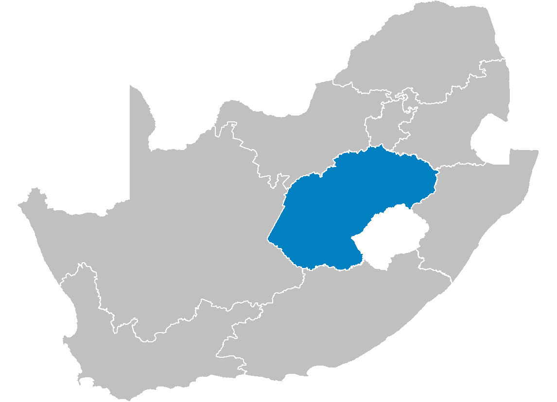
| 解説 | Map of South Africa showing the Free State province after the 12th amendment of the constitution in December 2005. |
| 日付 | |
| 原典 | Created by me from Shapefile data from the Municipal Demarcation Board, South Africa. |
| 作者 | Wayne Dam (User:Waynedam) |
| 許可 (ファイルの再利用) |
Dual-licensed under the GFDL and CC-By-SA-2.5, 2.0, and 1.0. |
ライセンス
この作品の著作権者である私は、この作品を以下のライセンスで提供します。

|
この文書は、フリーソフトウェア財団発行のGNUフリー文書利用許諾書 (GNU Free Documentation License) 1.2またはそれ以降のバージョンの規約に基づき、複製や再配布、改変が許可されます。不可変更部分、表紙、背表紙はありません。このライセンスの複製は、GNUフリー文書利用許諾書という章に含まれています。 |
| このファイルはクリエイティブ・コモンズ 表示-継承 3.0 非移植ライセンスのもとに利用を許諾されています。 | ||
| ||
| このライセンスのテンプレートは、GFDLのライセンス・アップデートによりこのファイルに追加されたものです。 |
- あなたは以下の条件に従う場合に限り、自由に
- 共有 – 本作品を複製、頒布、展示、実演できます。
- 再構成 – 二次的著作物を作成できます。
- あなたの従うべき条件は以下の通りです。
- 表示 – あなたは適切なクレジットを表示し、ライセンスへのリンクを提供し、変更があったらその旨を示さなければなりません。これらは合理的であればどのような方法で行っても構いませんが、許諾者があなたやあなたの利用行為を支持していると示唆するような方法は除きます。
- 継承 – もしあなたがこの作品をリミックスしたり、改変したり、加工した場合には、あなたはあなたの貢献部分を元の作品とこれと同一または互換性があるライセンスの下に頒布しなければなりません。
あなたは上記のライセンスから、どれか一つ以上を選択できます。
ライセンス
この作品の著作権者である私は、この作品を以下のライセンスで提供します。
|
|
この文書は、フリーソフトウェア財団発行のGNUフリー文書利用許諾書 (GNU Free Documentation License) 1.2またはそれ以降のバージョンの規約に基づき、複製や再配布、改変が許可されます。不可変更部分、表紙、背表紙はありません。このライセンスの複製は、GNUフリー文書利用許諾書という章に含まれています。 |
| このファイルはクリエイティブ・コモンズ 表示-継承 3.0 非移植ライセンスのもとに利用を許諾されています。 | ||
| ||
| このライセンスのテンプレートは、GFDLのライセンス・アップデートによりこのファイルに追加されたものです。 |
このファイルはクリエイティブ・コモンズ 表示 2.5 一般ライセンスのもとに利用を許諾されています。
- あなたは以下の条件に従う場合に限り、自由に
- 共有 – 本作品を複製、頒布、展示、実演できます。
- 再構成 – 二次的著作物を作成できます。
- あなたの従うべき条件は以下の通りです。
- 表示 – あなたは適切なクレジットを表示し、ライセンスへのリンクを提供し、変更があったらその旨を示さなければなりません。これらは合理的であればどのような方法で行っても構いませんが、許諾者があなたやあなたの利用行為を支持していると示唆するような方法は除きます。
あなたは上記のライセンスから、どれか一つ以上を選択できます。
ファイルの履歴
過去の版のファイルを表示するには、その版の日時をクリックしてください。
| 日付と時刻 | サムネイル | 寸法 | 利用者 | コメント | |
|---|---|---|---|---|---|
| 現在の版 | 2006年4月29日 (土) 14:16 | | 1,146 × 828 (20キロバイト) | Waynedam | == Summary == {{Information| |Description=Map of South Africa showing the Free State province after the 12th amendment of the constitution in December 2005. |Source=Created by me from Shapefile data from the [http://www.demarcation.org.za/ Municipal Dema |
ファイルの使用状況
このファイルを使用しているページはありません。
グローバルなファイル使用状況
以下に挙げる他のウィキがこの画像を使っています:
- ar.wikipedia.org での使用状況
- be-tarask.wikipedia.org での使用状況
- de.wikipedia.org での使用状況
- en.wikipedia.org での使用状況
- Phuthaditjhaba
- Air Force Base Bloemspruit
- Arlington, South Africa
- Fouriesburg
- Swinburne, Free State
- Hobhouse, South Africa
- Kestell
- Ladybrand
- Marquard
- Vrede
- Warden, Free State
- Hennenman
- Hertzogville
- Odendaalsrus
- Ventersburg
- Verkeerdevlei
- Edenville, South Africa
- Koppies
- Luckhoff
- Oranjeville
- Petrusburg
- Reddersburg
- Tweeling
- Vredefort
- Heuwelsig
- Fauna, Bloemfontein
- Willows, Bloemfontein
- Template:FreeState-geo-stub
- Zastron
- Marseilles, Free State
- Tussen-die-Riviere Nature Reserve
- Caledon Nature Reserve
- Soetdoring Nature Reserve
- Sandveld Nature Reserve
- Bell's Pass
- Kalkfontein Nature Reserve
- Koppies Dam Nature Reserve
- Maria Moroka Nature Reserve
- Seekoeivlei Nature Reserve
- Willem Pretorius Game Reserve
- Vierfontein
- Viljoensdrif
- Gariep Dam (town)
- Riebeeckstad
- Whites, Free State
- Van Stadensrus
- Tseki
このファイルのグローバル使用状況を表示する。