
ファイル:Inverness UK location map.svg

この SVG ファイルのこの PNG プレビューのサイズ: 762 × 600 ピクセル. その他の解像度: 305 × 240 ピクセル | 610 × 480 ピクセル | 976 × 768 ピクセル | 1,280 × 1,008 ピクセル | 2,560 × 2,016 ピクセル | 1,425 × 1,122 ピクセル。
元のファイル (SVG ファイル、1,425 × 1,122 ピクセル、ファイルサイズ: 1.59メガバイト)
ウィキメディア・コモンズのファイルページにある説明を、以下に表示します。
|
| 解説 |
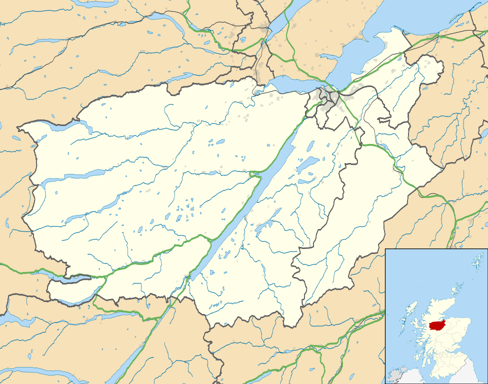
Map of the Inverness city management area, UK in 2011, with the following information shown:
Equirectangular map projection on WGS 84 datum, with N/S stretched 180% Geographic limits:
|
| 日付 | |
| 原典 |
|
| 作者 | Nilfanion, created using Ordnance Survey data |
| 許可 (ファイルの再利用) |
このファイルはクリエイティブ・コモンズ 表示-継承 3.0 非移植ライセンスのもとに利用を許諾されています。 帰属: Contains Ordnance Survey data © Crown copyright and database right
|
| その他のバージョン | File:Inverness UK blank map.svg - Blank map |
ファイルの履歴
過去の版のファイルを表示するには、その版の日時をクリックしてください。
| 日付と時刻 | サムネイル | 寸法 | 利用者 | コメント | |
|---|---|---|---|---|---|
| 現在の版 | 2011年2月22日 (火) 01:09 | | 1,425 × 1,122 (1.59メガバイト) | Nilfanion | {{Information |Description=Map of the Inverness city management area, UK in 2011, with the following information shown: *Ward boundaries *Coastline and lakes *Roads and railways *Urban areas Equirectangular map projection on WGS 84 datum, |
ファイルの使用状況
以下の 7 ページがこのファイルを使用しています:
グローバルなファイル使用状況
以下に挙げる他のウィキがこの画像を使っています:
- ar.wikipedia.org での使用状況
- ceb.wikipedia.org での使用状況
- en.wikipedia.org での使用状況
- Fort Augustus
- Fort George, Highland
- Culloden, Highland
- Urquhart Castle
- Invermoriston
- Caledonian Stadium
- Drumnadrochit
- Merkinch
- Raigmore Hospital
- Cawdor
- Aberarder
- Abriachan
- Achnaconeran
- South Kessock
- Beauly
- Millburn, Inverness
- Smithton, Highland
- Westhill, Highland
- Balloch, Highland
- Tomatin
- Cannich
- Cabrich
- Scorguie
- Tornagrain
- Balnain
- Ardendrain
- Ardnagrask
- Croy, Highland
- Talk:Smithton, Highland
- Kiltarlity
- Dores, Highland
- Moy, Highland
- Achnabat
- Allanfearn
- Aigas
- Aldourie
- Bunloit
- Foyers, Highland
- Balbeg, Highland
- Bunchrew
- Barnyards, Highland
- Gorthleck
- Crask of Aigas
- Leachkin
- Inverfarigaig
- Camault Muir
- Corrimony
- Wester Aberchalder
このファイルのグローバル使用状況を表示する。