
ファイル:Hong Kong Base Map.svg

この SVG ファイルのこの PNG プレビューのサイズ: 800 × 582 ピクセル. その他の解像度: 320 × 233 ピクセル | 640 × 466 ピクセル | 1,024 × 746 ピクセル | 1,280 × 932 ピクセル | 2,560 × 1,864 ピクセル | 1,607 × 1,170 ピクセル。
元のファイル (SVG ファイル、1,607 × 1,170 ピクセル、ファイルサイズ: 46キロバイト)
ウィキメディア・コモンズのファイルページにある説明を、以下に表示します。
|
| 解説 |
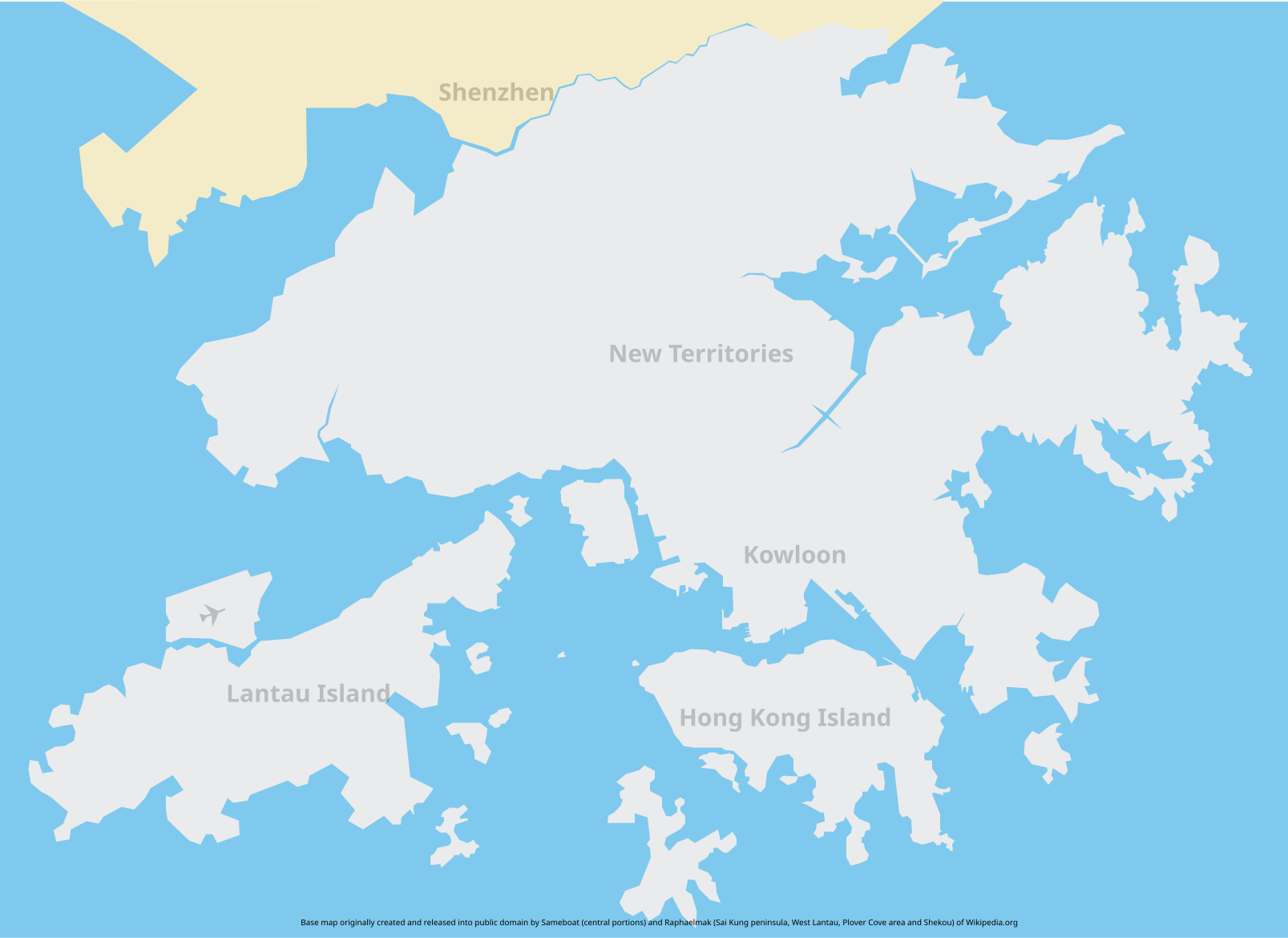
Base map of Hong Kong. The intention of creating such a map is to provide an SVG base map of Hong Kong. Unfortunately the map might not be accurate so if you spot an error feel free to download, correct and reupload it. Some islands are omitted on the map. Feel free to add them in if you think fit. |
||||
| 日付 | |||||
| 原典 | Central portions based on Image:Hong Kong Railway Route Map en.svg, fringe areas self drawn | ||||
| 作者 |
Central portions: Sameboat Fringe areas: Raphaelmak |
||||
| 許可 (ファイルの再利用) |
Central portions:
Fringe areas:
|
ファイルの履歴
過去の版のファイルを表示するには、その版の日時をクリックしてください。
| 日付と時刻 | サムネイル | 寸法 | 利用者 | コメント | |
|---|---|---|---|---|---|
| 現在の版 | 2013年5月20日 (月) 02:51 | | 1,607 × 1,170 (46キロバイト) | Jc86035 | Fixed the colour of an island |
| 2008年2月17日 (日) 14:23 |  | 1,607 × 1,170 (46キロバイト) | Raphaelmak | Removed two station symbols that stayed on map | |
| 2008年2月17日 (日) 14:18 |  | 1,607 × 1,170 (46キロバイト) | Raphaelmak | {{Information |Description=Base map of Hong Kong. The intention of creating such a map is to provide an SVG base map of Hong Kong. Unfortunately the map might not be accurate so if you spot an error feel free to download, correct and reupload it. |Source= |
ファイルの使用状況
このファイルを使用しているページはありません。
グローバルなファイル使用状況
以下に挙げる他のウィキがこの画像を使っています:
- en.wikipedia.org での使用状況