
ファイル:Fishermans Wharf aerial view.jpg

このプレビューのサイズ: 800 × 534 ピクセル。 その他の解像度: 320 × 214 ピクセル | 640 × 427 ピクセル | 1,024 × 683 ピクセル | 1,500 × 1,001 ピクセル。
元のファイル (1,500 × 1,001 ピクセル、ファイルサイズ: 639キロバイト、MIME タイプ: image/jpeg)
ウィキメディア・コモンズのファイルページにある説明を、以下に表示します。
|
| 解説 |
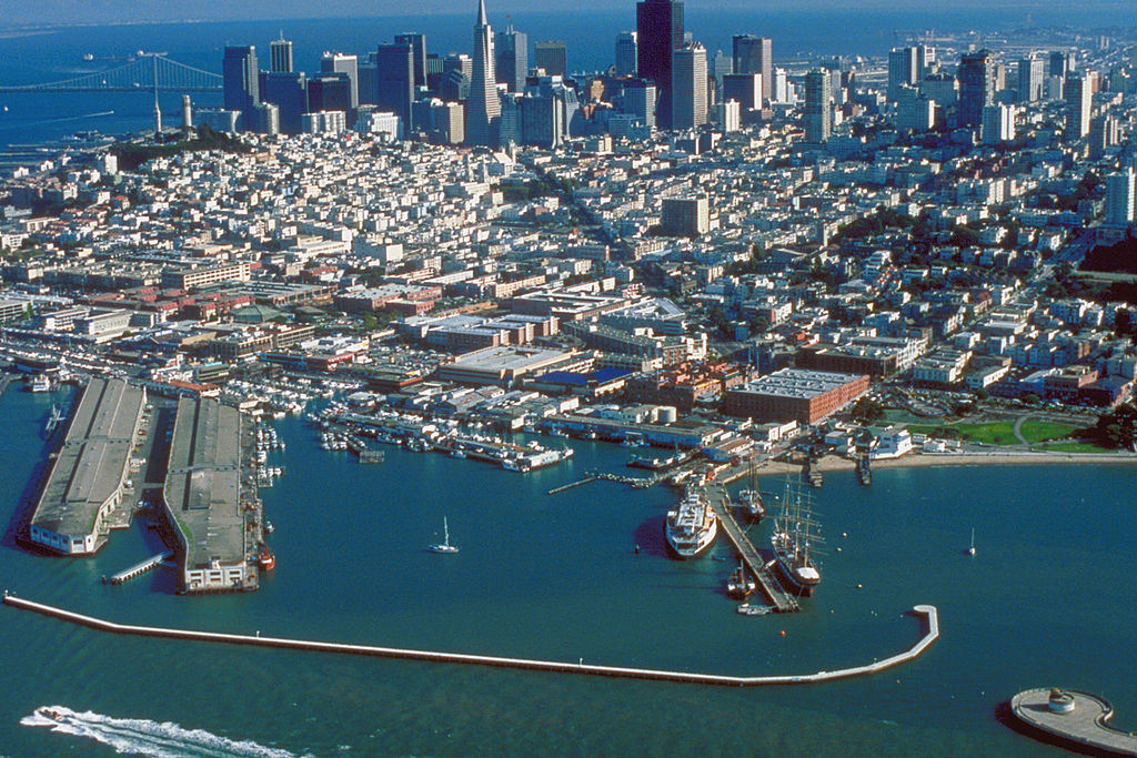
English: Aerial view of Fisherman's Wharf on San Francisco Bay on the north side of San Francisco, California, USA. View is to the southeast.
Coordinates: 37°48′35.83″N 122°25′11.27″W / 37.8099528°N 122.4197972°W |
|||
| 場所 | San Francisco, California, USA | |||
| 日付 | not specified or unknown | |||
| 原典 |
U.S. Army Corps of Engineers Digital Visual Library Image page Image description page Digital Visual Library home page |
|||
| 作者 | U.S. Army Corps of Engineers, photographer not specified or unknown | |||
| 許可 (ファイルの再利用) |
|
ファイルの履歴
過去の版のファイルを表示するには、その版の日時をクリックしてください。
| 日付と時刻 | サムネイル | 寸法 | 利用者 | コメント | |
|---|---|---|---|---|---|
| 現在の版 | 2007年5月4日 (金) 03:49 | | 1,500 × 1,001 (639キロバイト) | DanMS | {{Information | Description = {{en|Aerial view of Fisherman's Wharf on San Francisco Bay on the north side of San Francisco, California, USA. View is to the southeast.}} Coordinates: {{Coor dms|37|48|35.83|N|122|25|11.27|W|type:city|display=inline}} | |
ファイルの使用状況
以下のページがこのファイルを使用しています:
グローバルなファイル使用状況
以下に挙げる他のウィキがこの画像を使っています:
- ar.wikipedia.org での使用状況
- bg.wikipedia.org での使用状況
- de.wikipedia.org での使用状況
- de.wikivoyage.org での使用状況
- en.wikipedia.org での使用状況
- es.wikipedia.org での使用状況
- eu.wikipedia.org での使用状況
- fi.wikipedia.org での使用状況
- fr.wikipedia.org での使用状況
- he.wikivoyage.org での使用状況
- hr.wikipedia.org での使用状況
- hy.wikipedia.org での使用状況
- it.wikinews.org での使用状況
- no.wikipedia.org での使用状況
- pt.wikipedia.org での使用状況
- ru.wikipedia.org での使用状況
- sv.wikipedia.org での使用状況
- uk.wikipedia.org での使用状況
- vi.wikipedia.org での使用状況
- www.wikidata.org での使用状況
- zh.wikipedia.org での使用状況