
ファイル:Europe continents.svg

この SVG ファイルのこの PNG プレビューのサイズ: 800 × 520 ピクセル. その他の解像度: 320 × 208 ピクセル | 640 × 416 ピクセル | 1,024 × 666 ピクセル | 1,280 × 832 ピクセル | 2,560 × 1,664 ピクセル。
元のファイル (SVG ファイル、800 × 520 ピクセル、ファイルサイズ: 356キロバイト)
ウィキメディア・コモンズのファイルページにある説明を、以下に表示します。
|
概要
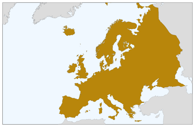
| 解説 | Blank map of Europe, showing only the continents. SVG format. |
| 日付 | |
| 原典 |
このファイルの派生元: Europe countries.svg:  |
| 作者 | Júlio Reis |
ライセンス
| This map is ineligible for copyright and therefore in the public domain, because it consists entirely of information that is common property and contains no original authorship. For more information, see Commons:Threshold of originality § Maps.
|
ファイルの履歴
過去の版のファイルを表示するには、その版の日時をクリックしてください。
| 日付と時刻 | サムネイル | 寸法 | 利用者 | コメント | |
|---|---|---|---|---|---|
| 現在の版 | 2022年9月5日 (月) 08:04 | | 800 × 520 (356キロバイト) | Рагин1987 | Correction |
| 2022年8月30日 (火) 19:35 |  | 2,560 × 1,664 (496キロバイト) | Рагин1987 | More correct visualization of the dividing line on the territory of the Caucasus Range | |
| 2006年5月23日 (火) 10:50 |  | 800 × 520 (305キロバイト) | Tintazul | {{Tintazul| |Description=Blank map of Europe, showing only the continents. SVG format. |Date=19 May 2006 |Source=Image:Europe countries.svg }} Category:Maps of Europe |
ファイルの使用状況
このファイルを使用しているページはありません。
グローバルなファイル使用状況
以下に挙げる他のウィキがこの画像を使っています:
- sv.wikipedia.org での使用状況