
ファイル:Andhra Pradesh locator map (1956-2014).svg

この SVG ファイルのこの PNG プレビューのサイズ: 643 × 599 ピクセル. その他の解像度: 258 × 240 ピクセル | 515 × 480 ピクセル | 824 × 768 ピクセル | 1,099 × 1,024 ピクセル | 2,198 × 2,048 ピクセル | 2,716 × 2,531 ピクセル。
元のファイル (SVG ファイル、2,716 × 2,531 ピクセル、ファイルサイズ: 372キロバイト)
ウィキメディア・コモンズのファイルページにある説明を、以下に表示します。
|
.svg?uselang=ja)
.svg?uselang=ja)
.svg?uselang=ja&action=history)
.svg)
| 題名 |
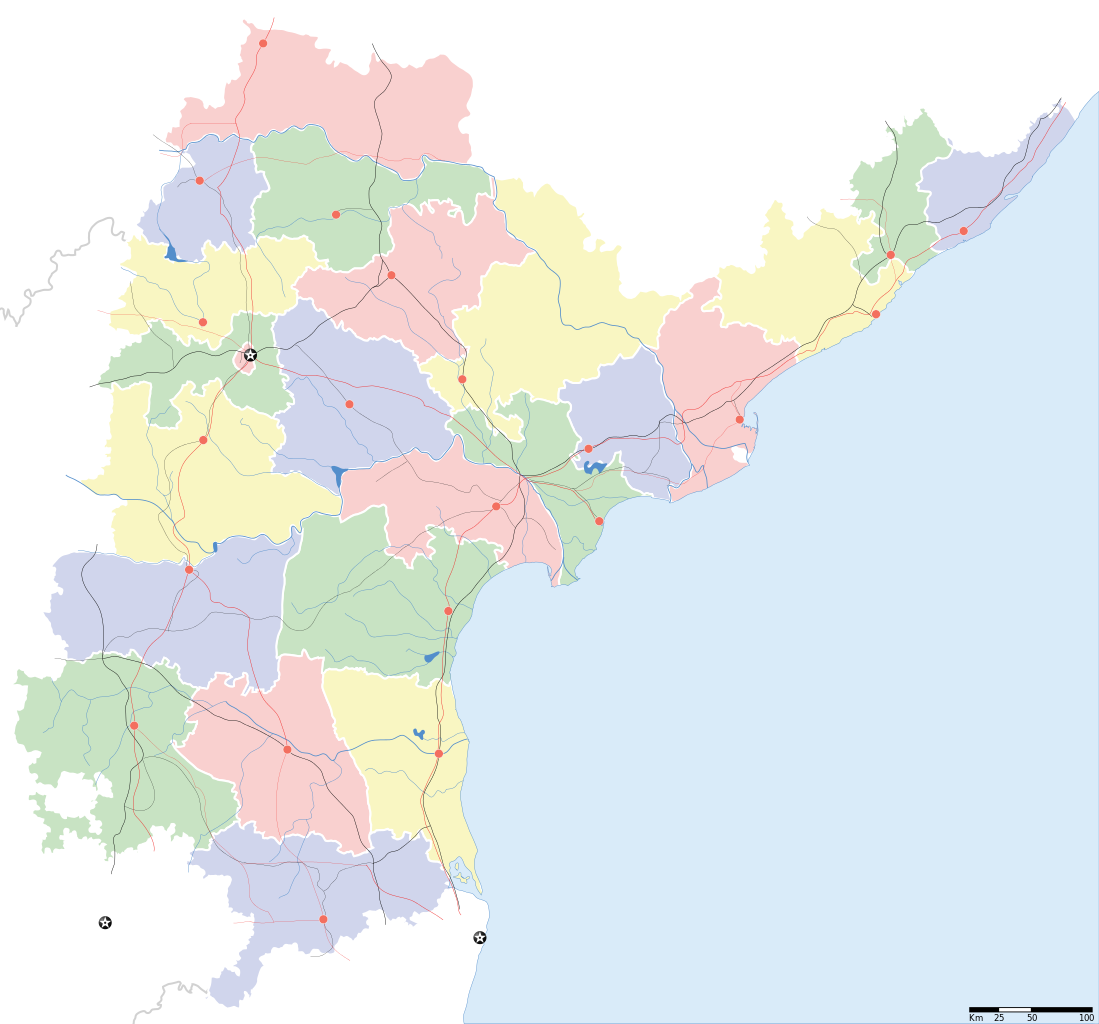
Andhra Pradesh locator Map. Coordinates: top=19.957, bottom=12.522, left=76.593, right=84.935. |
||
| 記述 |
Map of w:Andhra Pradesh with road and rail lines |
||
| 日付 | |||
| 原典 |
投稿者自身による著作物 |
||
| 作者 |
|
||
| 許可 (ファイルの再利用) |
この作品の著作権者である私は、この作品を以下のライセンスで提供します。 このファイルはクリエイティブ・コモンズ 表示-継承 3.0 非移植ライセンスのもとに利用を許諾されています。
|
||
| Geotemporal data | |||
| 記載日付 | 20世紀下半期および21世紀 | ||
| Georeferencing | If inappropriate please set warp_status = skip to hide. | ||
| Archival data | |||
| 備考 | Part of WikiProject India Maps | ||
derivative works
このファイルの派生的著作物: India Andhra Pradesh location map.svg
ファイルの履歴
過去の版のファイルを表示するには、その版の日時をクリックしてください。
| 日付と時刻 | サムネイル | 寸法 | 利用者 | コメント | |
|---|---|---|---|---|---|
| 現在の版 | 2007年5月5日 (土) 10:43 | | 2,716 × 2,531 (372キロバイト) | Planemad | oops, wrong crop |
| 2007年5月5日 (土) 10:40 |  | 2,716 × 2,531 (372キロバイト) | Planemad | {{WikiProject_India_Maps |Title=Andhra Pradesh locator Map |Description=Map of w:Andhra Pradesh with road and rail lines |Source= [http://www.etctours.net/gifs/apmap.jpg ETC Tours - Andhra map], [http://www.indianrailways.gov.in/maps/st-cent-rly.htm S |
ファイルの使用状況
このファイルを使用しているページはありません。
グローバルなファイル使用状況
以下に挙げる他のウィキがこの画像を使っています:
- de.wikipedia.org での使用状況
- en.wikipedia.org での使用状況
- en.wiktionary.org での使用状況
- fa.wikipedia.org での使用状況
- hif.wikipedia.org での使用状況
- hi.wikipedia.org での使用状況
- hr.wikipedia.org での使用状況
- ml.wikipedia.org での使用状況
- new.wikipedia.org での使用状況
- सीतारांपुरमु मण्डल, नेल्लोर जिल्ला
- वरिकुंटपाडु मण्डल, नेल्लोर जिल्ला
- गूडूरु मण्डल, नेल्लोर जिल्ला
- जलदंकि मण्डल, नेल्लोर जिल्ला
- कावलि मण्डल, नेल्लोर जिल्ला
- बोगोलु मण्डल, नेल्लोर जिल्ला
- कलिगिरि मण्डल, नेल्लोर जिल्ला
- विंजमूरु मण्डल, नेल्लोर जिल्ला
- दुत्तलूरु मण्डल, नेल्लोर जिल्ला
- उदयगिरि मण्डल, नेल्लोर जिल्ला
- मर्रिपाडु मण्डल, नेल्लोर जिल्ला
- अनुमसमुद्रंपेट मण्डल, नेल्लोर जिल्ला
- दगदर्ति मण्डल, नेल्लोर जिल्ला
- विडवलूरु मण्डल, नेल्लोर जिल्ला
- कोडवलूरु मण्डल, नेल्लोर जिल्ला
- बुच्चिरेड्डिपालेमु मण्डल, नेल्लोर जिल्ला
- संगं मण्डल, नेल्लोर जिल्ला
- चेजॆर्ल मण्डल, नेल्लोर जिल्ला
- अनंतसागरं मण्डल, नेल्लोर जिल्ला
- कलुवोय मण्डल, नेल्लोर जिल्ला
- रापूरु मण्डल, नेल्लोर जिल्ला
- पॊदलकूरु मण्डल, नेल्लोर जिल्ला
- नेल्लोर मण्डल, नेल्लोर जिल्ला
- कोवूरु मण्डल, नेल्लोर जिल्ला
- इंदुकूरुपेट मण्डल, नेल्लोर जिल्ला
- तोटपल्लिगूडूरु मण्डल, नेल्लोर जिल्ला
- मुत्तुकूरु मण्डल, नेल्लोर जिल्ला
- वेंकटाचलमु मण्डल, नेल्लोर जिल्ला
- मनुबोलु मण्डल, नेल्लोर जिल्ला
- सैदापुरमु मण्डल, नेल्लोर जिल्ला
- डक्किलि मण्डल, नेल्लोर जिल्ला
- वेंकटगिरि मण्डल, नेल्लोर जिल्ला
- बालायपल्ले मण्डल, नेल्लोर जिल्ला
- आल्लूरु मण्डल, नेल्लोर जिल्ला
- ओजिलि मण्डल, नेल्लोर जिल्ला
このファイルのグローバル使用状況を表示する。
.svg)
.svg)