
ファイル:2007 - South Eighth Street Viaduct.jpg
このプレビューのサイズ: 753 × 600 ピクセル。 その他の解像度: 301 × 240 ピクセル | 603 × 480 ピクセル | 964 × 768 ピクセル | 1,280 × 1,019 ピクセル | 2,560 × 2,039 ピクセル | 4,347 × 3,462 ピクセル。
元のファイル (4,347 × 3,462 ピクセル、ファイルサイズ: 18.56メガバイト、MIME タイプ: image/jpeg)
ウィキメディア・コモンズのファイルページにある説明を、以下に表示します。
|
概要
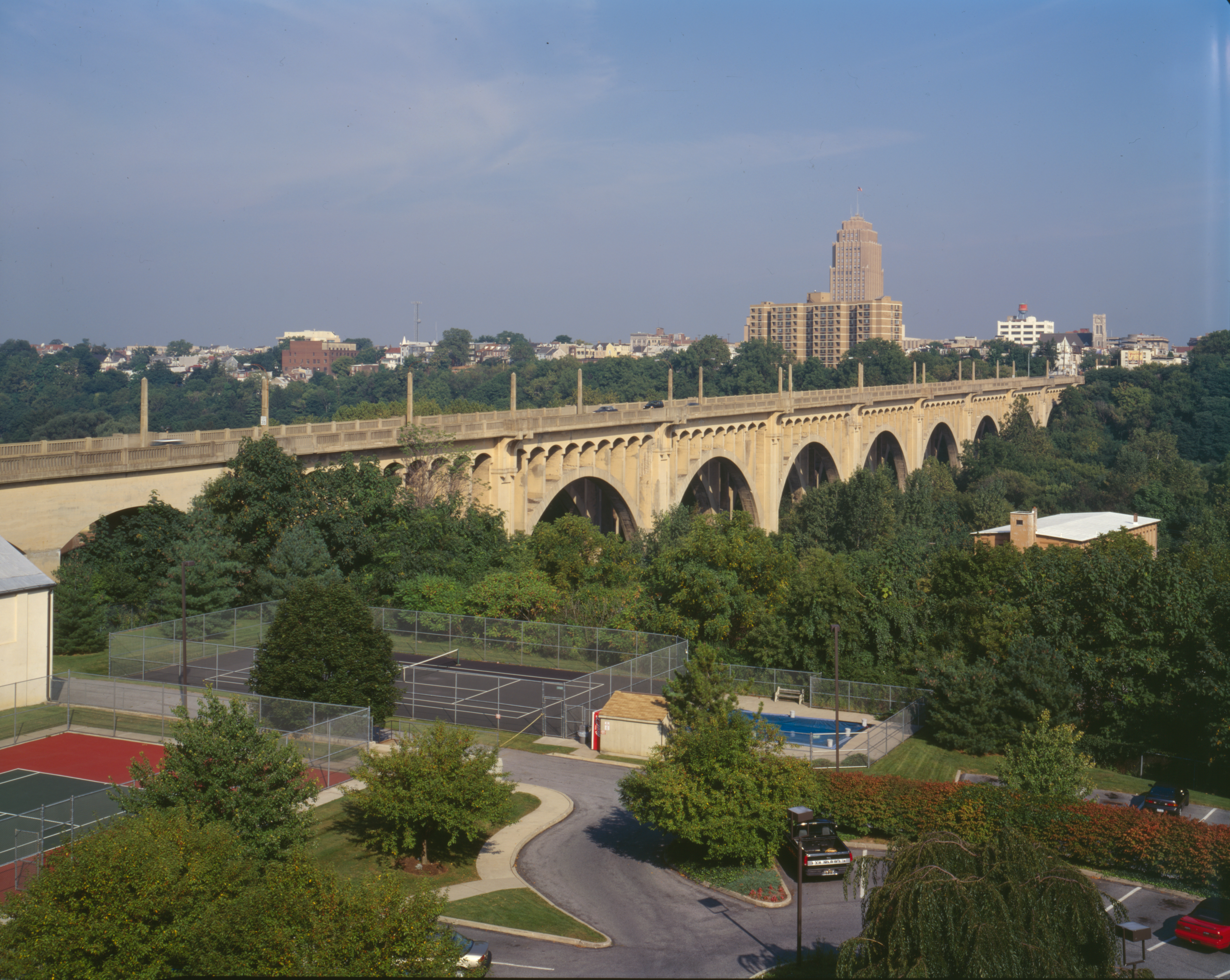
South Eighth Street Viaduct, Spanning Little Lehigh Creek at Eighth Street. Allentown, Lehigh County, PA
Source
Photograph by Joseph Elliot for HABS, Summer 1997.
http://hdl.loc.gov/loc.pnp/hhh.pa3578
The specific location for this work is: memory.loc.gov/cgi-bin/displayPhoto.pl?path=/pnp/habshaer/pa/pa3500/pa3578/color&topImages=314445cr.jpg&topLinks=314445cv.jpg,314445cu.tif&title=pa11&displayProfile=0
ライセンス
| This image or media file contains material based on a work of a National Park Service employee, created as part of that person's official duties. As a work of the U.S. federal government, such work is in the public domain in the United States. See the NPS website and NPS copyright policy for more information. |

|
This file comes from the Historic American Buildings Survey (HABS), Historic American Engineering Record (HAER) or Historic American Landscapes Survey (HALS). These are programs of the National Park Service established for the purpose of documenting historic places. Records consist of measured drawings, archival photographs, and written reports.
このタグは、添付された著作物の著作権状況を示すものではありません。通常の著作権タグも必要です。Commons:ライセンシングもご覧ください。 |
| This image or media file contains material based on a work of a National Park Service employee, created as part of that person's official duties. As a work of the U.S. federal government, such work is in the public domain in the United States. See the NPS website and NPS copyright policy for more information. |
Transwiki details
Transwiki approved by: w:en:User:Dmcdevit
This image was copied from wikipedia:en.
元のアップロードログ
| date/time | username | resolution | size | edit summary |
|---|---|---|---|---|
| 17:16, 27 May 2007 | w:en:User:Alphageekpa | 493×236 | 28 KB | {{PD-USGov-Interior-HABS}} |
Image description page history
| link | date/time | username | edit summary |
|---|---|---|---|
| http://en.wikipedia.org/w/index.php?title=Image:USA-Allentown-PA_8thStBridge.jpg&redirect=no&oldid=133885532 | 02:00, 9 September 2007 | w:en:User:Dmcdevit | |
| http://en.wikipedia.org/w/index.php?title=Image:USA-Allentown-PA_8thStBridge.jpg&redirect=no&oldid=133885532 | 17:16, 27 May 2007 | w:en:User:Alphageekpa | ({{PD-USGov-Interior-HABS}}) |
| 被写体の位置 | | 以下のサービスでこの位置を確認する: オープンストリートマップ |
|---|
ファイルの履歴
過去の版のファイルを表示するには、その版の日時をクリックしてください。
| 日付と時刻 | サムネイル | 寸法 | 利用者 | コメント | |
|---|---|---|---|---|---|
| 現在の版 | 2009年4月6日 (月) 23:34 | | 4,347 × 3,462 (18.56メガバイト) | Infrogmation | High res TIFF from LOC, converted to .jpg and cropped |
| 2007年9月13日 (木) 16:52 |  | 493 × 236 (28キロバイト) | BetacommandBot | Transwiki approved by: w:en:User:Dmcdevit This image was copied from wikipedia:en. The original description was: == Summary == {{PD-USGov-Interior-HABS}} == Licensing == {{PD-USGov}} === File history === {| class=wikitable ! date/time || username | |
ファイルの使用状況
以下のページがこのファイルを使用しています:
グローバルなファイル使用状況
以下に挙げる他のウィキがこの画像を使っています:
- de.wikipedia.org での使用状況
- en.wikipedia.org での使用状況
- Bridge
- Talk:Carbon County, Pennsylvania
- Talk:Lehigh County, Pennsylvania
- Talk:Monroe County, Pennsylvania
- Talk:Northampton County, Pennsylvania
- Allentown, Pennsylvania
- Talk:Christine Taylor
- Talk:Warren County, New Jersey
- Talk:Michael Behe
- Talk:Bethlehem Steel
- Talk:Dwayne Johnson
- Talk:Fries's Rebellion
- Talk:Sally Jessy Raphael
- Talk:H.D.
- Talk:Michael Andretti
- Talk:Keith Jarrett
- Talk:Lee Iacocca
- Talk:Lehigh Valley Railroad
- Talk:Francis March
- Talk:Delaware River
- Talk:Easton, Pennsylvania
- Talk:David Bader (computer scientist)
- Talk:Devon (actress)
- Talk:Lafayette College
- Talk:Penn State Berks-Lehigh Valley
- Talk:Nazareth Speedway
- Talk:John Andretti
- Talk:Bethlehem, Pennsylvania
- Talk:Allentown, Pennsylvania
- Talk:Pennsylvania Dutch Country
- Talk:Interstate 476
- Talk:The Cadets Drum and Bugle Corps
- Talk:Jonathan Taylor Thomas
- Talk:Nathan Homer Knorr
- Talk:Billy Kidman
- Talk:Lehigh University
- Talk:C. F. Martin & Company
- Talk:U.S. Route 22
- Talk:U.S. Route 222
- Talk:Moravian University
- Talk:Darryl Dawkins
- Talk:Peter Feaver
- Talk:WODE-FM
- Talk:Larry Holmes
- Talk:Pennsylvania Route 611
- Talk:Mayors of Allentown, Pennsylvania
- Talk:Tim Heidecker
- Talk:John Kline (politician)
このファイルのグローバル使用状況を表示する。