
ファイル:EnglandBerkshire.svg

この SVG ファイルのこの PNG プレビューのサイズ: 200 × 247 ピクセル. その他の解像度: 194 × 240 ピクセル | 389 × 480 ピクセル | 622 × 768 ピクセル | 829 × 1,024 ピクセル | 1,658 × 2,048 ピクセル。
元のファイル (SVG ファイル、200 × 247 ピクセル、ファイルサイズ: 231キロバイト)
ウィキメディア・コモンズのファイルページにある説明を、以下に表示します。
|
ファイルの履歴
過去の版のファイルを表示するには、その版の日時をクリックしてください。
| 日付と時刻 | サムネイル | 寸法 | 利用者 | コメント | |
|---|---|---|---|---|---|
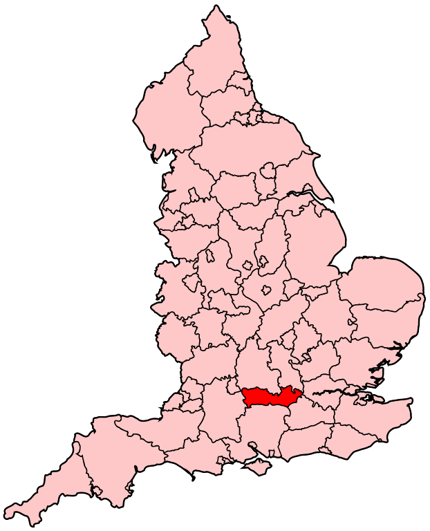
| 現在の版 | 2007年4月22日 (日) 20:05 | | 200 × 247 (231キロバイト) | Wereon | Map of the administrative county of Berkshire. Category:Maps of counties of England |
ファイルの使用状況
このファイルを使用しているページはありません。
グローバルなファイル使用状況
以下に挙げる他のウィキがこの画像を使っています:
- cy.wikipedia.org での使用状況
- Reading
- Berkshire
- Eton
- Coleg Eton
- Windsor
- Castell Windsor
- Nodyn:Eginyn Berkshire
- Newbury, Berkshire
- Bracknell
- Earley
- Hungerford
- Maidenhead
- Sandhurst, Berkshire
- Slough
- Thatcham
- Wokingham
- Woodley, Berkshire
- Aldermaston
- Aldermaston Wharf
- Aldworth
- Amen Corner, Berkshire
- Anvilles
- Arborfield
- Arborfield Cross
- Arborfield Garrison
- Ascot, Berkshire
- Ashampstead
- Ashampstead Green
- Ashmore Green
- Aston, Berkshire
- Avington, Berkshire
- Bagnor
- Barkham
- Beansheaf Farm
- Beech Hill, Berkshire
- Beedon
- Beedon Common
- Beenham
- Beenham Stocks
- Benham Hill
- Billingbear
- Binfield
- Birch Hill
- Bisham
- Bloomfield Hatch
- Bothampstead
- Bowsey Hill
- Boxford, Berkshire
- Boyn Hill
- Bradfield, Berkshire
このファイルのグローバル使用状況を表示する。