
ファイル:Chicagoland Map.svg

この SVG ファイルのこの PNG プレビューのサイズ: 365 × 599 ピクセル. その他の解像度: 146 × 240 ピクセル | 292 × 480 ピクセル | 468 × 768 ピクセル | 624 × 1,024 ピクセル | 1,247 × 2,048 ピクセル | 2,082 × 3,418 ピクセル。
元のファイル (SVG ファイル、2,082 × 3,418 ピクセル、ファイルサイズ: 362キロバイト)
ウィキメディア・コモンズのファイルページにある説明を、以下に表示します。
|
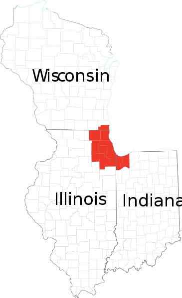
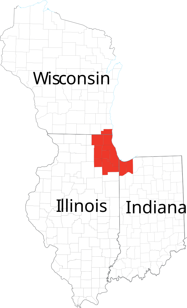
| 解説 | Derived from maps obtained from [1]. Combined in en:Adobe Illustrator and exported to SVG. | |||
| 原典 | ||||
| 作者 | ||||
| 許可 (ファイルの再利用) |
|
ファイルの履歴
過去の版のファイルを表示するには、その版の日時をクリックしてください。
| 日付と時刻 | サムネイル | 寸法 | 利用者 | コメント | |
|---|---|---|---|---|---|
| 現在の版 | 2007年2月24日 (土) 13:41 | | 2,082 × 3,418 (362キロバイト) | Ocuish | {{Information |Description=Derived from maps obtained from [http://nationalatlas.gov/printable/reference.html]. Combined in en:Adobe Illustrator and exported to SVG. en:Category:Illinois mapsen:Category:Indiana maps[[:en:Category:Wisconsi |
ファイルの使用状況
以下のページがこのファイルを使用しています:
グローバルなファイル使用状況
以下に挙げる他のウィキがこの画像を使っています:
- cs.wikipedia.org での使用状況
- en.wikipedia.org での使用状況
- fr.wikipedia.org での使用状況
- ko.wikipedia.org での使用状況
- ru.wikipedia.org での使用状況
- tr.wikipedia.org での使用状況
- vi.wikipedia.org での使用状況