
ファイル:Administrative map of the Viqueque district of East Timor.png

このプレビューのサイズ: 800 × 471 ピクセル。 その他の解像度: 320 × 188 ピクセル | 640 × 377 ピクセル | 1,024 × 603 ピクセル | 1,280 × 754 ピクセル | 2,600 × 1,531 ピクセル。
元のファイル (2,600 × 1,531 ピクセル、ファイルサイズ: 429キロバイト、MIME タイプ: image/png)
ウィキメディア・コモンズのファイルページにある説明を、以下に表示します。
|
| 解説 |
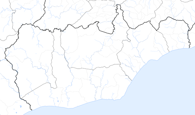
Deutsch: Verwaltungskarte des Distrikts Viqueque in Osttimor
English: Administrative map of the Viqueque district of East Timor |
| 日付 | |
| 原典 | Self made, using informations from theTimor-Leste GIS Portal |
| 作者 | Maximilian Dörrbecker (Chumwa) |
| 許可 (ファイルの再利用) |
この作品の著作権者である私は、この作品を以下のライセンスで提供します。 このファイルはクリエイティブ・コモンズ 表示-継承 2.5 一般ライセンスのもとに利用を許諾されています。
Sie dürfen das Bild zu den folgenden Bedingungen nutzen:
|
| その他のバージョン | このファイルの派生的著作物: Uatucarbau Suubdistrikt.png |
ファイルの履歴
過去の版のファイルを表示するには、その版の日時をクリックしてください。
| 日付と時刻 | サムネイル | 寸法 | 利用者 | コメント | |
|---|---|---|---|---|---|
| 現在の版 | 2009年9月19日 (土) 06:02 | | 2,600 × 1,531 (429キロバイト) | Chumwa | {{Information |Description= {{ de }} Verwaltungskarte des Distrikts Viqueque in Osttimor {{ en }} Administrative map of the Viqueque district of East Timor |Source=Self made, using informations from the[http://websig.civil.ist.utl.pt/timorgis Timor-Leste |
ファイルの使用状況
このファイルを使用しているページはありません。