
ファイル:Map showing Norfolk city, Virginia.png
高解像度版はありません。
Map_showing_Norfolk_city,_Virginia.png (750 × 485 ピクセル、ファイルサイズ: 34キロバイト、MIME タイプ: image/png)
ウィキメディア・コモンズのファイルページにある説明を、以下に表示します。
|
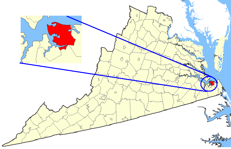
| 解説 | Maps of counties in Virginia, showing City of Norfolk highlighted. |
| 原典 | http://nationalatlas.gov/ |
| 作者 | National Atlas of the United States, U.S. Geological Survey. |
| 許可 (ファイルの再利用) |
Original work of the US Federal Government - public domain |
This map was obtained from an edition of the National Atlas of the United States. Like almost all works of the U.S. federal government, works from the National Atlas are in the public domain in the United States.
Online access: NationalAtlas.gov | 1970 print edition: Library of Congress, Perry-Castañeda Library
|
ファイルの履歴
過去の版のファイルを表示するには、その版の日時をクリックしてください。
| 日付と時刻 | サムネイル | 寸法 | 利用者 | コメント | |
|---|---|---|---|---|---|
| 現在の版 | 2007年2月19日 (月) 01:28 | | 750 × 485 (34キロバイト) | Rfc1394 | {{Information| |Description=Maps of counties in Virginia |Source=http://nationalatlas.gov/ |Date= |Author= |Permission=Original work of the US Federal Government - public domain |other_versions= }} {{PD-USGov}} Category:Virginia maps |
ファイルの使用状況
このファイルを使用しているページはありません。
グローバルなファイル使用状況
以下に挙げる他のウィキがこの画像を使っています:
- it.wikipedia.org での使用状況
- no.wikipedia.org での使用状況
- pl.wikivoyage.org での使用状況
- sc.wikipedia.org での使用状況