
ファイル:Wallowa-Whitman National Forest map.gif

このプレビューのサイズ: 583 × 600 ピクセル。 その他の解像度: 233 × 240 ピクセル | 600 × 617 ピクセル。
元のファイル (600 × 617 ピクセル、ファイルサイズ: 38キロバイト、MIME タイプ: image/gif)
ウィキメディア・コモンズのファイルページにある説明を、以下に表示します。
|
概要
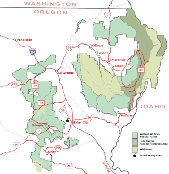
| 解説 | Map of the Wallowa-Whitman National Forest in northeastern Oregon. |
| 原典 | U.S. Forest Service |
| 作者 | U.S. Forest Service |
| 許可 (ファイルの再利用) |
Public domain, created by federal government |
ライセンス
This image is a work of the Forest Service of the United States Department of Agriculture. As a work of the U.S. federal government, the image is in the public domain.
|
ファイルの履歴
過去の版のファイルを表示するには、その版の日時をクリックしてください。
| 日付と時刻 | サムネイル | 寸法 | 利用者 | コメント | |
|---|---|---|---|---|---|
| 現在の版 | 2008年5月14日 (水) 09:36 | | 600 × 617 (38キロバイト) | Northwest-historian | {{Information |Description=Map of the Wallowa-Whitman National Forest in northeastern Oregon. |Source=[http://www.fs.fed.us/r6/w-w/recreation/recreation-map.shtml U.S. Forest Service] |Author=U.S. Forest Service |Permission=Public domain, created by feder |
ファイルの使用状況
以下のページがこのファイルを使用しています:
グローバルなファイル使用状況
以下に挙げる他のウィキがこの画像を使っています:
- ca.wikipedia.org での使用状況
- en.wikipedia.org での使用状況
- es.wikipedia.org での使用状況
- fa.wikipedia.org での使用状況
- ro.wikipedia.org での使用状況
- sh.wikipedia.org での使用状況
- ur.wikipedia.org での使用状況
- zh.wikipedia.org での使用状況