
ファイル:WI 1st Congressional District.png
高解像度版はありません。
WI_1st_Congressional_District.png (636 × 381 ピクセル、ファイルサイズ: 62キロバイト、MIME タイプ: image/png)
ウィキメディア・コモンズのファイルページにある説明を、以下に表示します。
|
| 解説 |
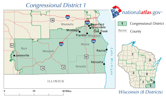
English: Map of Wisconsin's 1st congressional district. Downloaded from http://nationalatlas.gov/printable/images/preview/congdist/wi01_109.gif and converted to PNG. |
|||
| 原典 | [http://nationalatlas.gov U.S. National Atlas | |||
| 作者 | USGS | |||
| 許可 (ファイルの再利用) |
|
元のアップロードログ
元のファイルページはこちら。以下の利用者は全てen.wikipediaに属します。
- 2007-02-12 09:27 Acntx 636×381× (63962 bytes)
ファイルの履歴
過去の版のファイルを表示するには、その版の日時をクリックしてください。
| 日付と時刻 | サムネイル | 寸法 | 利用者 | コメント | |
|---|---|---|---|---|---|
| 現在の版 | 2012年1月12日 (木) 20:54 | | 636 × 381 (62キロバイト) | MGA73bot2 | {{BotMoveToCommons|en.wikipedia|year={{subst:CURRENTYEAR}}|month={{subst:CURRENTMONTHNAME}}|day={{subst:CURRENTDAY}}}} {{Information |Description={{en|Map of Wisconsin's 1st congressional district. Downloaded from http://nationalatlas.gov/printable/ima |
ファイルの使用状況
以下のページがこのファイルを使用しています:
グローバルなファイル使用状況
以下に挙げる他のウィキがこの画像を使っています:
- en.wikipedia.org での使用状況
- Wisconsin's 1st congressional district
- 2006 United States House of Representatives elections in Wisconsin
- 2008 United States House of Representatives elections in Wisconsin
- 2010 United States House of Representatives elections in Wisconsin
- User:Arms & Hearts/United States House of Representatives elections in Wisconsin, 2010
- fa.wikipedia.org での使用状況