
ファイル:Map of Wisconsin highlighting Door County.svg

この SVG ファイルのこの PNG プレビューのサイズ: 559 × 599 ピクセル. その他の解像度: 224 × 240 ピクセル | 448 × 480 ピクセル | 717 × 768 ピクセル | 956 × 1,024 ピクセル | 1,911 × 2,048 ピクセル | 4,747 × 5,087 ピクセル。
元のファイル (SVG ファイル、4,747 × 5,087 ピクセル、ファイルサイズ: 103キロバイト)
ウィキメディア・コモンズのファイルページにある説明を、以下に表示します。
|
概要
| 解説 |
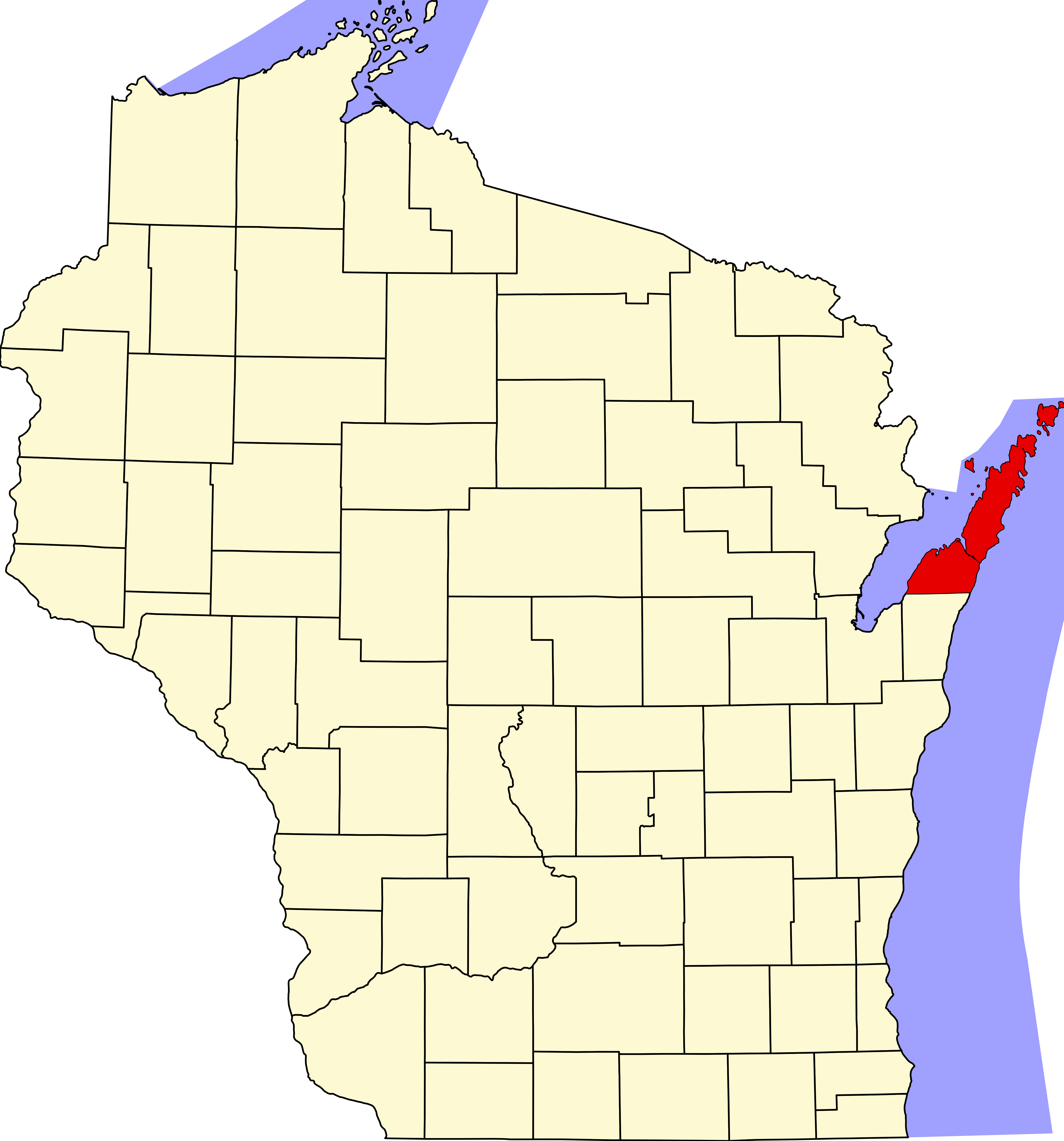
English: Locator map showing Door County (red) — in northeastern Wisconsin.
|
| 日付 | |
| 原典 |
投稿者自身による著作物: English: The maps use data from nationalatlas.gov, specifically countyp020.tar.gz on the Raw Data Download page. The maps also use state outline data from statesp020.tar.gz. The Florida maps use hydrogm020.tar.gz to display Lake Okeechobee. |
| 作者 | David Benbennick |
ライセンス
| この著作物の著作権者である私は、この著作物における権利を放棄しパブリックドメインとします。これは全世界で適用されます。 一部の国では、これが法的に可能ではない場合があります。その場合は、次のように宣言します。 私は、あらゆる人に対して、法により必要とされている条件を除き、如何なる条件も課すことなく、あらゆる目的のためにこの著作物を使用する権利を与えます。 |
ファイルの履歴
過去の版のファイルを表示するには、その版の日時をクリックしてください。
| 日付と時刻 | サムネイル | 寸法 | 利用者 | コメント | |
|---|---|---|---|---|---|
| 現在の版 | 2006年2月13日 (月) 00:22 | | 4,747 × 5,087 (103キロバイト) | David Benbennick | {{subst:User:Dbenbenn/clm|county=Door County|state=Wisconsin|type=county}} |
| 2006年2月12日 (日) 18:14 |  | 4,747 × 5,087 (103キロバイト) | David Benbennick | {{subst:User:Dbenbenn/clm|county=Door County|state=Wisconsin|type=county}} |
ファイルの使用状況
以下の 3 ページがこのファイルを使用しています:
グローバルなファイル使用状況
以下に挙げる他のウィキがこの画像を使っています:
- ar.wikipedia.org での使用状況
- bg.wikipedia.org での使用状況
- bpy.wikipedia.org での使用状況
- cdo.wikipedia.org での使用状況
- ceb.wikipedia.org での使用状況
- ce.wikipedia.org での使用状況
- cy.wikipedia.org での使用状況
- de.wikipedia.org での使用状況
- en.wikipedia.org での使用状況
- List of counties in Wisconsin
- Door County, Wisconsin
- Sturgeon Bay
- Mink River
- Northport, Door County, Wisconsin
- Namur, Wisconsin
- Cana Island
- Pilot Island
- Horseshoe Island (Wisconsin)
- National Register of Historic Places listings in Door County, Wisconsin
- Maplewood, Wisconsin
- Carlsville, Wisconsin
- Institute, Wisconsin
- West Jacksonport, Wisconsin
- Valmy, Wisconsin
- Rowleys Bay, Wisconsin
- Little Sturgeon, Wisconsin
- Detroit Harbor, Wisconsin
- North Bay, Door County, Wisconsin
- Vignes, Wisconsin
- Kolberg, Wisconsin
- Carnot, Wisconsin
- Salona, Wisconsin
- Baileys Harbor (CDP), Wisconsin
- Brussels (community), Wisconsin
- Juddville, Wisconsin
- Peninsula Center, Wisconsin
- Idlewild, Wisconsin
- Washington (community), Wisconsin
- Shoemaker Point, Wisconsin
- User:Rfc1394/sandbox1
- The Ridges Sanctuary
- Coffee Swamp
- Template:DoorCountyWI-geo-stub
- Fish Island (Wisconsin)
- Hat Island (Wisconsin)
- Gravel Island (Wisconsin)
- Spider Island (Wisconsin)
このファイルのグローバル使用状況を表示する。