
ファイル:Lee County, Virginia.jpg

元のファイル (1,869 × 1,536 ピクセル、ファイルサイズ: 1.57メガバイト、MIME タイプ: image/jpeg)
ウィキメディア・コモンズのファイルページにある説明を、以下に表示します。
|
| 解説 |
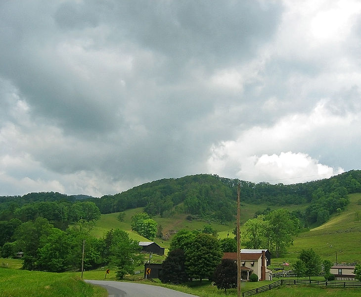
I'm going through photos from last year's trip to Appalachia, to supplement my writing up of the roadtrip tale on my blog. This is yet another snapshot through the car window, taken somewhere near Pennington Gap, Virginia. I was driving from the town of Norton to the Cumberland Gap, by way of the town of Appalachia, Pennington Gap, and then a tiny road -- route 659 along the stream Sugar Run, I think. Finally I took highway 58 to Cumberland Gap. Given the size of the road in this photo, I'm guessing this is along route 659, several miles west of Pennington Gap. This local live map shows the approximate location. It had rained recently. The hills were surprisingly lush and green. |
| 日付 | |
| 原典 | Southwestern Virginia |
| 作者 | pfly from Pugetopolis |
ライセンス
- あなたは以下の条件に従う場合に限り、自由に
- 共有 – 本作品を複製、頒布、展示、実演できます。
- 再構成 – 二次的著作物を作成できます。
- あなたの従うべき条件は以下の通りです。
- 表示 – あなたは適切なクレジットを表示し、ライセンスへのリンクを提供し、変更があったらその旨を示さなければなりません。これらは合理的であればどのような方法で行っても構いませんが、許諾者があなたやあなたの利用行為を支持していると示唆するような方法は除きます。
- 継承 – もしあなたがこの作品をリミックスしたり、改変したり、加工した場合には、あなたはあなたの貢献部分を元の作品とこれと同一または互換性があるライセンスの下に頒布しなければなりません。
| 当初、Flickrに投稿されたこの画像は、December 15, 2008に管理者又は画像査読者のFile Upload Bot (Magnus Manske)によって査読され、その時点で、Flickr上で記載されたライセンスの下で利用可能であることが確認されました。 |
ファイルの履歴
過去の版のファイルを表示するには、その版の日時をクリックしてください。
| 日付と時刻 | サムネイル | 寸法 | 利用者 | コメント | |
|---|---|---|---|---|---|
| 現在の版 | 2008年12月15日 (月) 05:23 | | 1,869 × 1,536 (1.57メガバイト) | File Upload Bot (Magnus Manske) | {{Information |Description= I'm going through photos from last year's trip to Appalachia, to supplement my writing up of the roadtrip tale on [http://www.pfly.net/ my blog]. This is yet another snapshot through the car window, taken somewhere near Penni |
ファイルの使用状況
以下のページがこのファイルを使用しています:
グローバルなファイル使用状況
以下に挙げる他のウィキがこの画像を使っています:
- en.wikipedia.org での使用状況