
ファイル:Europe location WAL2.png

このプレビューのサイズ: 800 × 600 ピクセル。 その他の解像度: 320 × 240 ピクセル | 640 × 480 ピクセル | 1,024 × 768 ピクセル | 1,280 × 960 ピクセル | 1,600 × 1,200 ピクセル。
元のファイル (1,600 × 1,200 ピクセル、ファイルサイズ: 803キロバイト、MIME タイプ: image/png)
ウィキメディア・コモンズのファイルページにある説明を、以下に表示します。
|
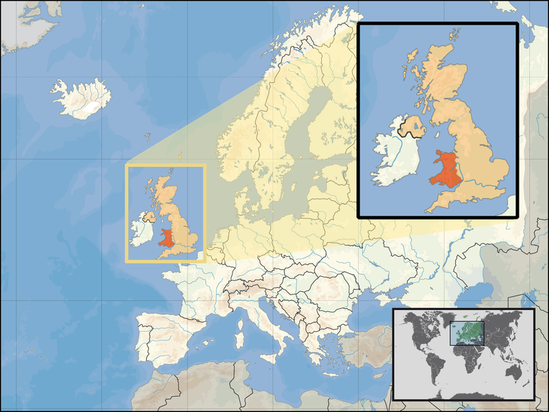
| 解説 | Location of Wales in the UK and Europe, on terrain map showing surface and underwater contour areas. | |||
| 日付 | ||||
| 原典 | Derived from Wikimedia Commons image of original work forming part of the "Europe location" map series created by David Liuzzo: derived from Image:Europe_location_WAL.png. | |||
| 作者 | uploaded by User:Kmusser (excerpt from User:David_Liuzzo) | |||
| 許可 (ファイルの再利用) |
|
|||
| その他のバージョン |
|


ファイルの履歴
過去の版のファイルを表示するには、その版の日時をクリックしてください。
| 日付と時刻 | サムネイル | 寸法 | 利用者 | コメント | |
|---|---|---|---|---|---|
| 現在の版 | 2008年9月24日 (水) 17:20 | | 1,600 × 1,200 (803キロバイト) | Kmusser | {{Information |Description= Location of Wales in the UK and Europe, on terrain map showing surface and underwater contour areas. |Source=Derived from Wikimedia Commons image of original work forming part of the "Europe location" map series cre |
ファイルの使用状況
このファイルを使用しているページはありません。
グローバルなファイル使用状況
以下に挙げる他のウィキがこの画像を使っています:
- an.wikipedia.org での使用状況
- ar.wikipedia.org での使用状況
- az.wiktionary.org での使用状況
- el.wikivoyage.org での使用状況
- en.wikipedia.org での使用状況
- eu.wiktionary.org での使用状況
- fo.wikipedia.org での使用状況
- gag.wikipedia.org での使用状況
- gom.wikipedia.org での使用状況
- gv.wikipedia.org での使用状況
- id.wikibooks.org での使用状況
- incubator.wikimedia.org での使用状況
- kaa.wikipedia.org での使用状況
- kn.wikipedia.org での使用状況
- la.wikipedia.org での使用状況
- mr.wikipedia.org での使用状況
- my.wikipedia.org での使用状況
- nds-nl.wikipedia.org での使用状況
- pl.wikipedia.org での使用状況
- pl.wikivoyage.org での使用状況
- pl.wiktionary.org での使用状況
- pnb.wikipedia.org での使用状況
- ru.wiktionary.org での使用状況
- su.wikipedia.org での使用状況
- ug.wikipedia.org での使用状況
- war.wikipedia.org での使用状況
- yo.wikipedia.org での使用状況
- zu.wikipedia.org での使用状況